Order 2 or more products and get €10 off and a FREE Adventure Map of Ireland worth €15!
0
€0.00
Order 2 or more products and get €10 off and a FREE Adventure Map of Ireland worth €15!

€20.00
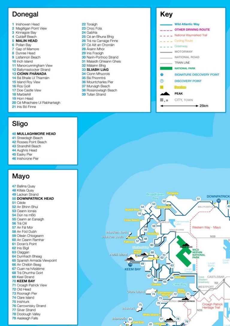
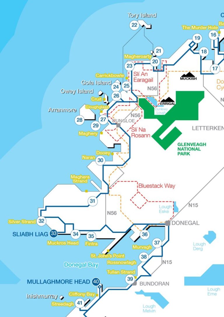
Taking inspiration from transit and underground style maps this poster details the 2500km route of the Wild Atlantic Way as well as marking the 187 discovery points found along the coast. It also includes the major cities and towns, roads and train networks, as well as the beaches, mountains, National Parks, greenways, National Waymarked Trails and cycling routes.
It is printed in Ireland on heavy-duty 220gsm paper in an A2 portrait format that is ideal for hanging on your wall.
Order Exploring Ireland’s Wild Atlantic Way and get this map for free!
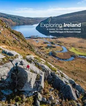
Author David Flanagan
Format A2 420 x 594mm, one sided, full colour
This poster features
| Product | Category | Weight (grams) | Island of Ireland | UK and EU | Canada (not US) | Rest of the world |
|---|---|---|---|---|---|---|
| Greenways of Ireland | Book | 550g | €3 | €14 | €24 | €28 |
| Exploring Ireland | Book | 796g | €3 | €14 | €24 | €28 |
| Cycling in Ireland | Book | 541g | €3 | €14 | €24 | €28 |
| Exploring Ireland’s Wild Atlantic Way | Book | 507 | €3 | €14 | €24 | €28 |
| Bouldering in Ireland | Book | 569g | €3 | €14 | €24 | €28 |
| Bouldering Essentials | Book | 478g | €3 | €11 | €17 | €23.50 |
| Rock Climbing in Ireland | Book | 414g | €3 | €11 | €17 | €23.50 |
| The History Map of Ireland – Poster | Poster | 415g including tube | €3 | €11 | €17 | €23.50 |
| The Adventure Map of Ireland – Poster | Poster | 415g including tube | €3 | €11 | €17 | €23.50 |
| The Adventure Map of Ireland – Folding Map | Folding Map | 150g estimated | €3 | €7 | €10 | €12 |
| The Cycling Map of Ireland – Poster | Poster | 149g including tube | €3 | €9.50 | €14 | €18.50 |
| The Hiking Map of Ireland – Poster | Poster | 149g including tube | €3 | €9.50 | €14 | €18.50 |
| The Wild Atlantic Way Map – Poster | Poster | 149g including tube | €3 | €9.50 | €14 | €18.50 |